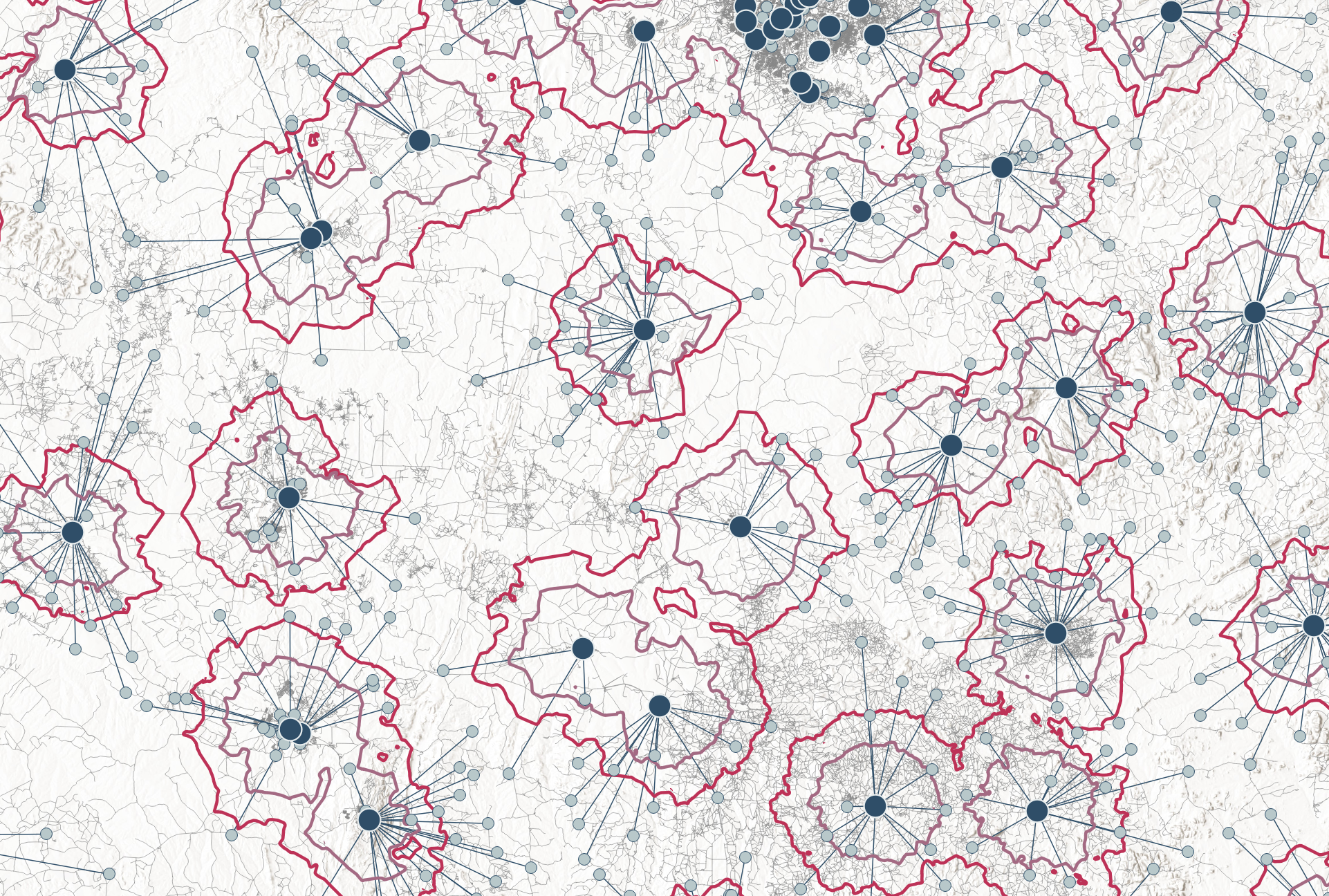
For years, I worked on diagnostic network optimizations across multiple countries – Namibia, Nigeria, Kenya, Afghanistan, and many more. Every project had the same fundamental challenge: ensuring that health services were positioned where they were needed most.
But doing this required specialized GIS skills, expensive software, and lengthy analysis processes, making it difficult for public health teams to take control of their own decision-making.
Over and over, I heard the same question: “Can you teach us how to do this ourselves?”
The truth was, even with training, the barriers were too high. GIS tools were built for specialists, not for public health professionals who needed quick, actionable insights, ideally at low costs. Teaching GIS analytics and modelling wasn’t the real solution – simplifying the process was.
This ultimately shaped the development of what is now the growing NOSOMICS toolbox – simple web-based applications designed to bring the power of advanced mapping and location optimization directly to public health professionals, without the need for specialized GIS expertise or expensive software. Now, instead of wrestling with GIS software, public health experts can focus on what truly matters: improving health service delivery with data-driven decisions.
In the end, the goal wasn’t just to build another tool – it was to cut through complexity and enable faster, smarter decision-making.

