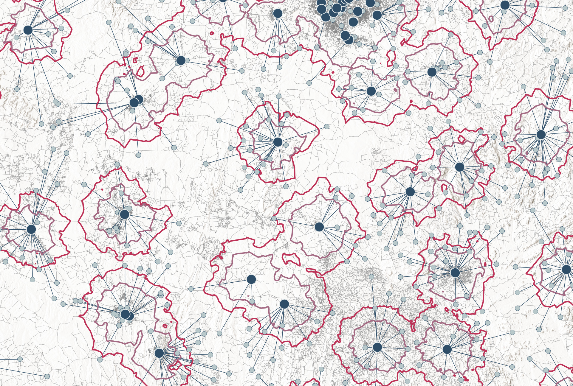
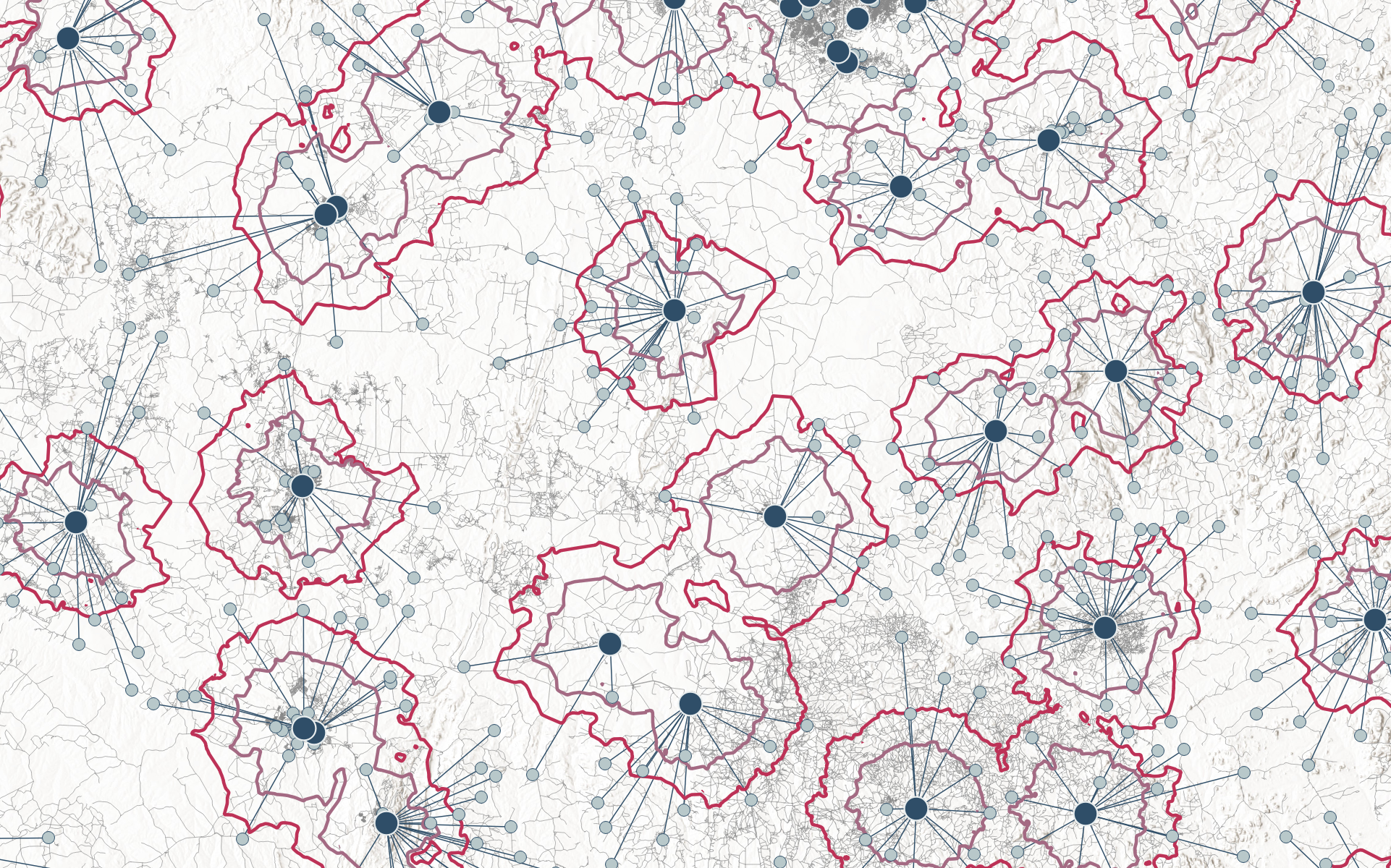
Making complex spatial Analysis simple!

The Baseline Analyst
.The Baseline Analyst is designed for public health professionals who need a quick, data-driven assessment of their health service networks before committing to full optimization.
With a fast and user-friendly interface, this app provides an immediate, high-level review of the health service networks. Users receive an interactive map that visualizes facility locations and demand distribution, analyzes network connectivity, and helps identifying service gaps .

The p-Median Solver
The p-Median Solver simplifies facility placement optimization for public health decision-makers, eliminating the need for GIS expertise or costly software.
Users can generate optimized facility placements, understand key network metrics and conduct resource allocation analyses in just a few steps.
Built on powerful heuristic algorithms, it delivers high-level optimization comparable to premium GIS tools – at a fraction of the cost.

The MaxCov Solver
The MaxCoverage-Solver (coming soon) brings simple, data-driven optimization to public health planning by ensuring the greatest population or demand coverage with available resources.
The MaxCov-Solver will help optimize primary health service placement for walk-in access to services – whether for diagnostics, treatment, vaccination or mobile units – ensuring the most people are served with the least resources.
