NOSOMICS

Smarter maps - smarter decisions
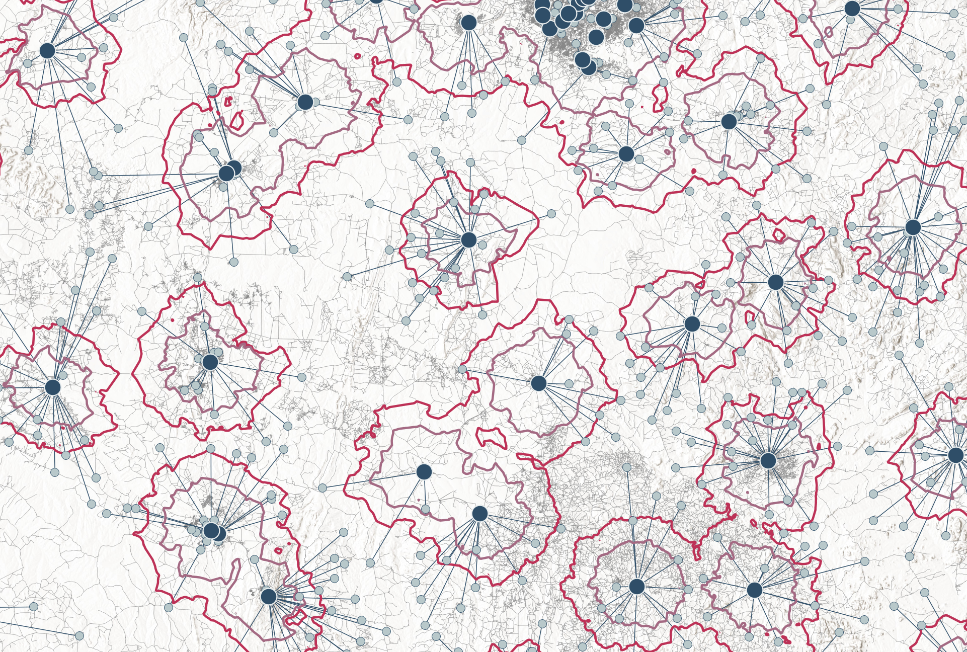
Welcome to NOSOMICS- created by Manuela Rehr. I am a PhD-trained microbiologist and MSc epidemiologist with years of experience  diagnostic network optimization and strengthening health systems worldwide. 

Through my work, I saw a fundamental challenge: Public health leaders need fast, data-driven insights to optimize health care services. But for too long, geospatial health care location optimization has been locked behind complex GIS tools and expensive software.

That’s why I founded NOSOMICS – to build simple, powerful, and intuitive digital tools that cut through complexity and empower organizations to make smarter, data-driven decisions.

NOSOMICS is not just another consultancy – it’s a forward-thinking initiative that brings the power of location optimization directly into the hands of public health professionals. No GIS expertise required. No unnecessary complexity. Just actionable insights for better healthcare planning.

We’re rethinking how health services are optimized – faster, easier, and more affordable than ever before.

Solutions

Making complex spatial Analysis simple!

The Baseline Analyst

.The Baseline Analyst is designed for public health professionals who need a quick, data-driven assessment of their health service networks before committing to full optimization.

With a fast and user-friendly interface, this app provides an immediate, high-level review of the health service networks. Users receive an interactive map that visualizes facility locations and demand distribution, analyzes network connectivity, and helps identifying service gaps .


The p-Median Solver

The p-Median Solver simplifies facility placement optimization for public health decision-makers, eliminating the need for GIS expertise or costly software.

Users can generate optimized facility placements, understand key network metrics and conduct resource allocation analyses in just a few steps.

Built on powerful heuristic algorithms, it delivers high-level optimization comparable to premium GIS tools – at a fraction of the cost.


The MaxCov Solver

The MaxCoverage-Solver (coming soon) brings simple, data-driven optimization to public health planning by ensuring the greatest population or demand coverage with available resources.

The MaxCov-Solver will help optimize primary health service placement for walk-in access to services – whether for diagnostics, treatment, vaccination or mobile units – ensuring the most people are served with the least resources.


Advisory Services

From data to decisions - Solutions That Fit

Better decisions start with the right insights.

I provide expert advisory services to generate data-driven evidence, translate geospatial analysis and modelling into actionable public health strategies, and help organizations optimize health services for smarter, more effective decision-making.

Geospatial Health Service Optimization

For those who need a deep, comprehensive analysis beyond quick optimization tools, this service provides rigorous, data-driven geospatial modeling. Using advanced methodologies, I assess population needs, travel times, accessibility, and health system constraints to determine the most effective facility configuration.

Whether planning diagnostic network optimizations, general- or specialized health service accessibility, this approach ensures scientific precision, maximizing coverage, efficiency, and equity.

Digital Tools & App Development

Beyond using existing solutions, some organizations need custom-built tools to streamline decision-making and health data analysis. I help design and prototype tailored apps or interactive platforms that fit your specific needs.

Whether you need an interactive prototype or a fully functional application, I work with you to ensure the tool aligns with your goals – so your team can leverage data effectively, long after the project ends.

Interactive Data Visualization & Custom Tools

Turn your routine data into interactive maps and dynamic dashboards for deeper insights. Whether you need a tailored visualization of health trends, an interactive report, or a custom-built application (such as a ShinyApp) that allows users to manipulate input values and instantly see the impact on maps and graphs, I provide solutions that enhance decision-making. 

By making complex data more intuitive and actionable, I help you uncover patterns, track progress, and communicate findings effectively.

Health Strategy Consulting

Having the right data and analysis is just the first step – the real challenge is turning those insights into actionable strategies and policy. This service is for teams that already have their data analyzed, geospatial models completed, and optimization results in hand, but need expert guidance on how to translate findings into real-world implementation.

I help bridge the gap between analysis and action by aligning data evidence with national strategic plans and policies and/or developing practical implementation plans.

Training & Capacity Building

A strong analysis is only valuable if it leads to real-world impact. I offer tailored training sessions on geospatial analysis, and optimization of health services, covering the full process from analysis design to execution, interpretation, and real-world implementation.